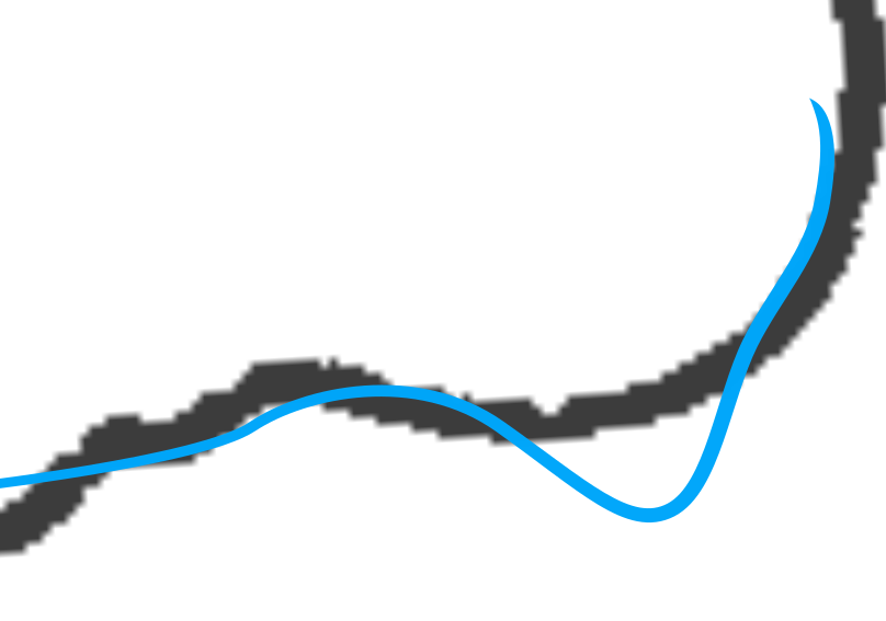
I draw a map in Inkscape.
Rivers on a professional map should begin with a thin long tip, then it changes line width little by little and in the lower reaches of a river may even become a polygonal figure with dark blue edge and blue fill.
I can draw it completely by hand, by multiple sectors with different width and the last I will draw as a polygon bezier line. I will take some time, because I would have to correct nodes and set up widthes.
May be there is an approach, that would allow me to set beginning and ending withes of a bezier line? I tried some Inscape operations that allow to set this, but width changes too quickly and the tip is too thin, it's very difficult to get something from this. I would like a quick way to draw professional carthography products with Inkscape.
Very appreciate any help with this.
UPD:
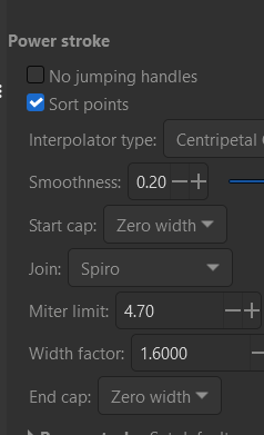
Power Stroke gives the opposite -


