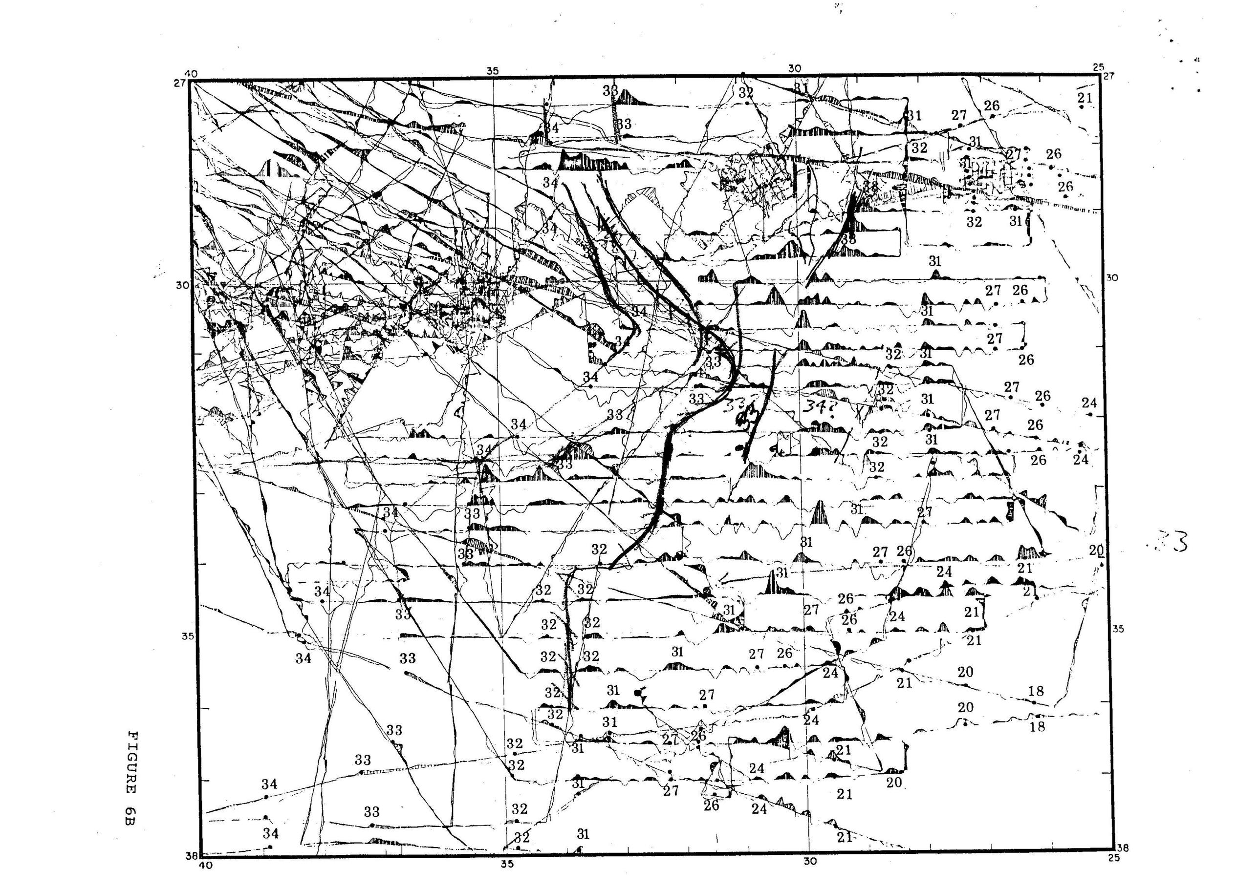
I have an old scanned map showing data from a 1980 survey. The map is in a PNG format. The original data has been lost over time and this is the only surviving image from the survey. Few regions on the map have been faded out and not readable.
My ultimate goal is to redraw this image in Illustrator. Is there any way to improve the readability of this map ?
Any input will be really helpful.

